5182 x 3824 px | 43,9 x 32,4 cm | 17,3 x 12,7 inches | 300dpi
Aufnahmedatum:
1863
Ort:
East Indies
Weitere Informationen:
Dieses Bild kann kleinere Mängel aufweisen, da es sich um ein historisches Bild oder ein Reportagebild handel
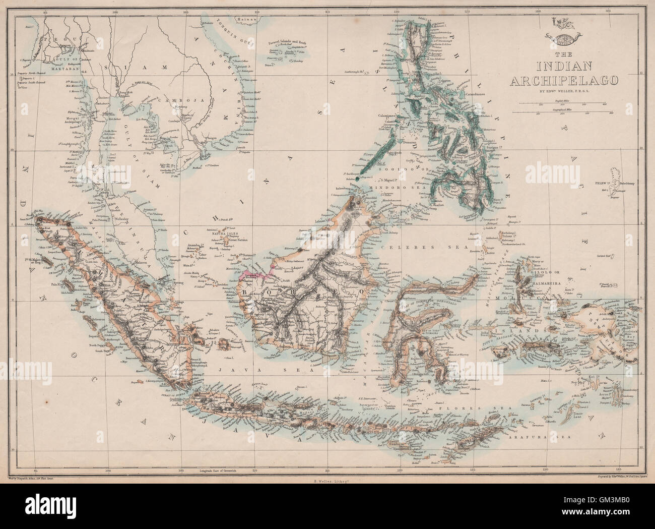
'The Indian Archipelago'. Artist/engraver/cartographer: Engraved by Edwd. Weller. Provenance: "Cassell's Complete Atlas" (a.k.a. "The Weekly Dispatch Atlas"), Published by Cassell, Petter and Galpin, London. Type: Antique map with original outline colour. The map shows the Kingdom of Sarawak, a state in Borneo established by Sir James Brooke in 1841 by receiving independent kingdom status from the Sultanate of Brunei as a reward for helping fight piracy and insurgency. The Brooke dynasty ruled Sarawak for a hundred years and became famous as the "White Rajahs". Its statehood and identity as a sovereign country was first recognised by the United States in 1850 and then the United Kingdom in 1863. In 1888 Charles Anthoni Johnson Brooke, the successor of James Brooke, accepted a British protectorate, which it remained until 1946, when the third ruler Charles Vyner Brooke ceded his rights to the United Kingdom.