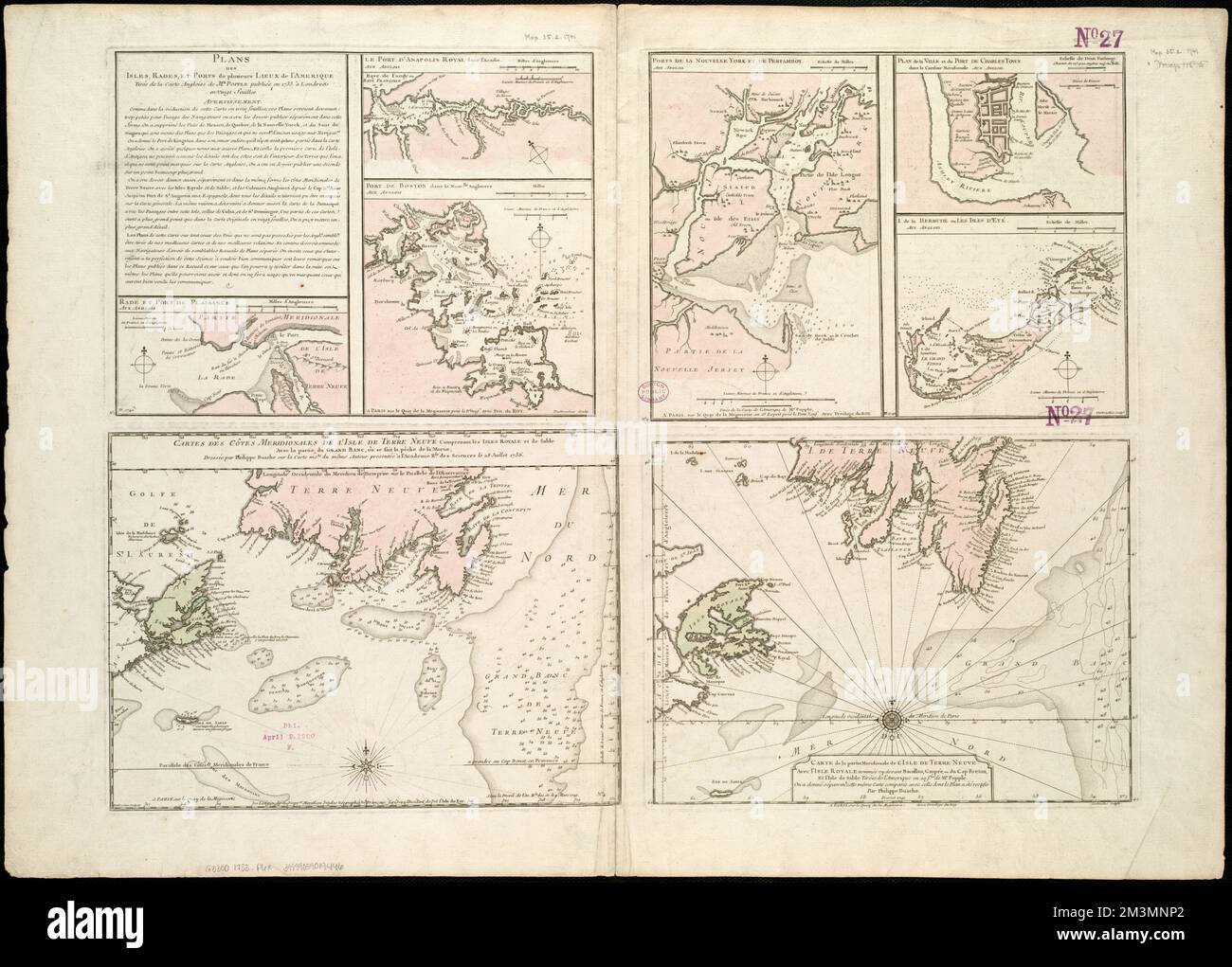
Plans des Isles, rades, et Ports de plusieurs lieux de l'Amérique : tirés de la Carte angloise de Mr. Popple publiée en 1733 à Londres en vingt feuilles , Annapolis Royal N.S., Maps, early works to 1800, Bermuda Islands, Maps, early works to 1800, Boston Bay Mass., Maps, Early Works to 1800, Charleston S.C., Maps, Early Works to 1800, New York Harbor N.Y. und N.J., Maps, Early Works to 1800, Perth Amboy Harbor N.J., Maps, Early Works to 1800, Newfoundland and Labrador, Maps, Early Works to 1800, Nova Scotia, Maps, Frühe Arbeiten zur Norman B. Leventhal Map Center Collection 1800

RMID:Bild-ID:2M3MNP2
Bilddetails
Bildanbieter:
piemags/DCM / Alamy Stock FotoBild-ID:
2M3MNP2Dateigröße:
167,6 MB (6,7 MB Komprimierter Download)Freigaben (Releases):
Model - nein | Eigentum - neinBenötige ich eine Freigabe?Format:
9040 x 6480 px | 76,5 x 54,9 cm | 30,1 x 21,6 inches | 300dpiWeitere Informationen:
Dieses Bild ist ein gemeinfreies Bild. Dies bedeutet, dass entweder das Urheberrecht dafür abgelaufen ist oder der Inhaber des Bildes auf sein Urheberrecht verzichtet hat. Alamy berechnet Ihnen eine Gebühr für den Zugriff auf die hochauflösende Kopie des Bildes.
Dieses Bild kann kleinere Mängel aufweisen, da es sich um ein historisches Bild oder ein Reportagebild handel